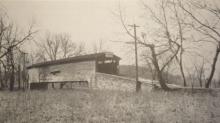
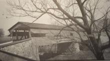
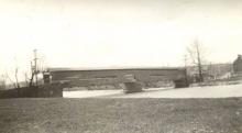
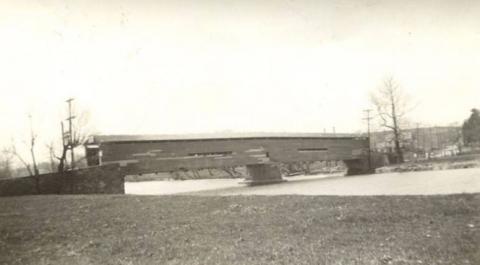
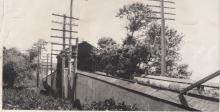
Bridges & Covered Bridges

Covered bridges in 19th century Pocopson Township

  Between 1807 and 1899 there were 98 documented covered bridges in Chester County, Pennsylvania. Five of these were located, at least partly, in Pocopson Township as they were shared with neighboring townships. These bridges were built over streams that provided power to nearby mills supporting the local residents. Bridges were often constructed at natural fords (shallow crossings) but were elevated to withstand the dangers of floods.

Pocopson Creek Bridge

  Located about 1/2 mile west of Pocopson Road on Street Road (Rt 926), Pocopson Creek Bridge spanned the creek of the same name. Built around 1872 by brothers Meanander (carpenter) and Ferdinand Wood (mason) it was likely a multiple King Post type bridge with a relatively short span of 50 feet. The cost of the original bridge is unknown but due to storm damage there were repairs on the roof done in 1877 for $139 and more extensive repairs done in 1884 for $600. The Wood brothers built at least 20 bridges together in Chester County and about 50 more individually with other contractors.

Marshall's/ Northbrook Bridge

  The first covered bridge in Chester County spanned the west branch of the Brandywine Creek in present day Northbrook. In 1807 when the bridge was constructed this area was part of West Bradford Township. Marshall's Bridge as it would be called was a Burr Arch type bridge with a span of 98 feet and a roadway width of 16 feet. The bridge tooks it's name from the Marshall family who had settled the surrounding area from an original William Penn land grant.

Seeds'/ Wawaset Bridge

  The second covered bridge in what would become Pocopson Township was built in 1834 across the west branch of the Brandywine Creek in conjunction with a road building project that would connect West Chester, PA to the Maryland state line near present day Fair Hill, MD. This road, originally called State Road, would eventually be known as Rt 842. Up until this time local travelers had to take other routes to cross the Brandywine Creek. Trimble's Ford was the nearest crossing point to the north and Wistar's Ford was the nearest crossing point to the south.

Wistar's/ Sager's/ Lenape Bridges

The area below the confluence of the east and west branches of the Brandywine Creek was referred to as Shunk's Ford at the time of the American Revolution. Many years after the Battle of Brandywine an open deck wooden bridge was constructed at the location of the ford and the name of the area was changed to Wistar's Bridge, named after the family who owned the farmland to the west of the Brandywine at that location. This bridge connected Birmingham Township to the east with Pocopson Township to the west.

Painter's Bridge

  Built in 1857 at the site of the earlier Jones' Ford, Painter's Bridge spanned the Brandywine Creek on Street Road (current Rt 926). The bridge connected Birmingham Township to the east with Pocopson Township to the west and was named for the Painter family that had large landholdings on each side of the Brandywine.

Bridges

The location of the new township was advantageous in that both the Brandywine and Pocopson Creeks served as power and water resources. But these creeks were also a barrier to road transportation, and a further complication when the creeks flooded – which was all too often.  As early as 1685, the Courts ordered the construction of many bridges – most of these replacing established fording spots – which provided easier access to and through what would eventually become the township. The earliest bridges were of wood (covered and open), and later of stone, and then of iron and steel.